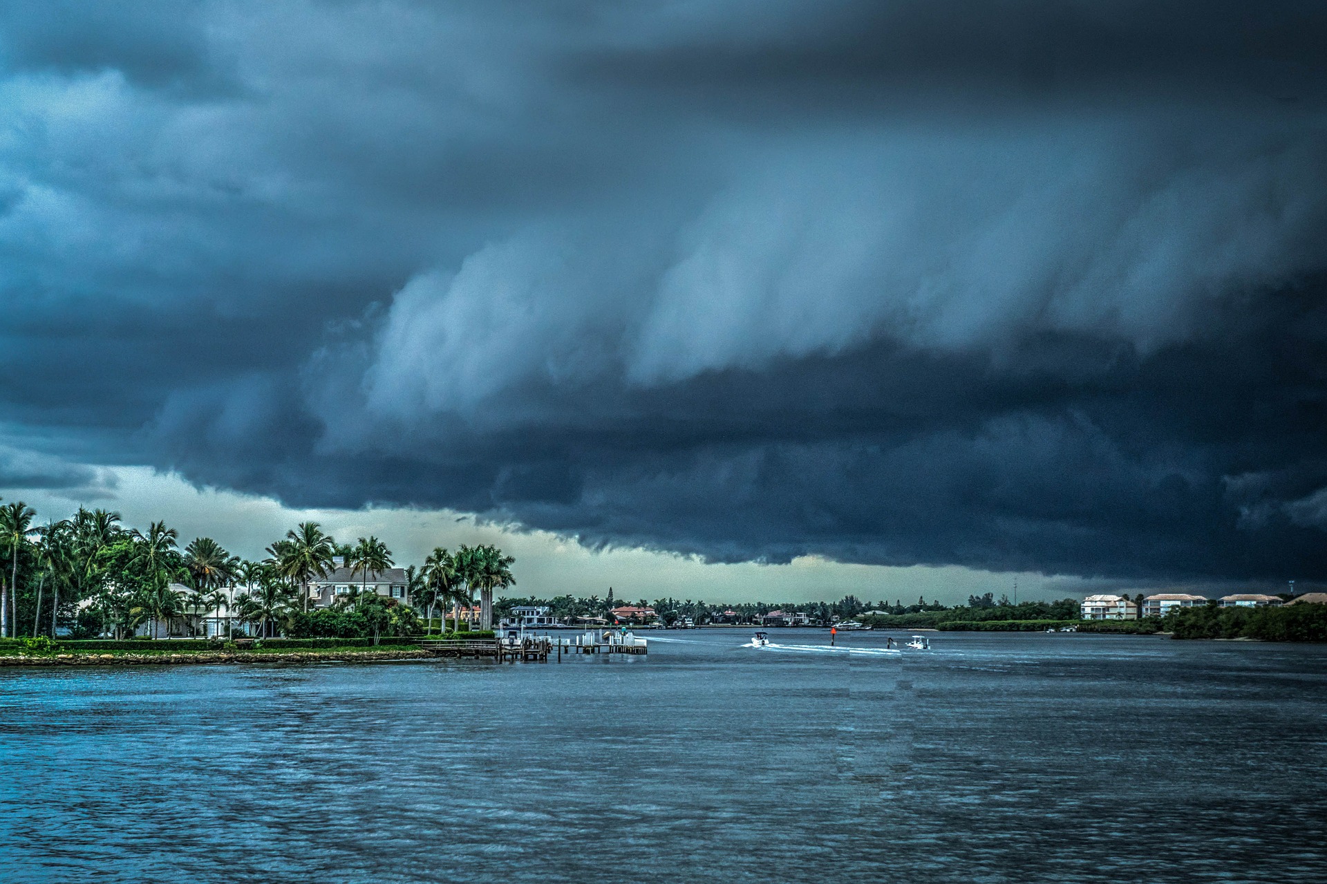

The 2021-22 winter will be a La Niña event – like last year. The massive rainstorms and flooding that hit British Columbia in November were almost surely a consequence of La Niña – most likely exacerbated by climate change. Normally mild, should La Niña turn severe, we could face extreme weather events that disrupt auto and computer industry supply lines, wreak havoc for insurance companies, and send crop prices sky high.
This article is only available to Macro Hive subscribers. Sign-up to receive world-class macro analysis with a daily curated newsletter, podcast, original content from award-winning researchers, cross market strategy, equity insights, trade ideas, crypto flow frameworks, academic paper summaries, explanation and analysis of market-moving events, community investor chat room, and more.
The 2021-22 winter will be a La Niña event – like last year. The massive rainstorms and flooding that hit British Columbia in November were almost surely a consequence of La Niña – most likely exacerbated by climate change. Normally mild, should La Niña turn severe, we could face extreme weather events that disrupt auto and computer industry supply lines, wreak havoc for insurance companies, and send crop prices sky high.
Meet La Niña
La Niña is the ‘little sister’ of the better known El Niño weather pattern. La Niña or El Niño occur every few years when something disrupts the trade winds that blow east to west across the Equatorial Pacific. El Niño happens when the trade winds weaken. It is more common than La Niña, and more likely to be moderate to severe.
In La Niña years, trade winds are stronger than usual. This drives cold water in the Equatorial East Pacific to the west, and warm water in the West Pacific further west than usual. Deep cold water in the East Pacific rises to the surface, further pushing warm water westward. The trade winds that cross North America from west to east are stronger than usual. Among the impacts:
- Monsoons in Southeast Asia tend to be stronger. That causes flooding and may harm crop yields.
- Northern Australia is cooler and wetter.
- South Africa is wetter, and Equatorial Africadrier.
- Tropical cyclones in the Western Pacific and hurricanes in the Caribbean are more frequent and stronger, as stronger winds break up wind shear1 and help large storm systems develop.
- Central and southern South America are prone to drought, while northern South America is cooler and wetter.
- The Southern and Midwestern regions of the US are more susceptible to drought, while the Pacific Northwest has cooler and wetter weather.
La Niña tends to be mild – but not always. If it becomes more severe or persists past early spring, these impacts become more extreme.
Currently, La Niña is forecast to be mildand pass as winter moves into spring. It will affect weather in North and South America, and much of Southeast Asia. But major events and disruptions are likely to be relatively few and idiosyncratic.
What If La Niña Is Not Mild?
The grey swan event would be a mild La Niña turning extreme. That last happened during 2010-2012, giving rise, among other things, to:
- Monsoon floods in Thailand that destroyed much of the industrial base and disrupted auto and computer industry supply lines for months.
- Superstorm Sandy that flooded New York City and Hurricane Harvey that nearly drowned Houston.
- Poor crop yields that led to soaring prices for rice in much of Asia, and corn, wheat and soybeans in North and South America.
If signs emerge that La Niña is becoming more pronounced (not the base case now!), investors can best position themselves to benefit by buying agricultural futures three to six months out and reducing exposure to the insurance industry.
Over a 30-year career as a sell side analyst, John covered the structured finance and credit markets before serving as a corporate market strategist. In recent years, he has moved into a global strategist role.
(The commentary contained in the above article does not constitute an offer or a solicitation, or a recommendation to implement or liquidate an investment or to carry out any other transaction. It should not be used as a basis for any investment decision or other decision. Any investment decision should be based on appropriate professional advice specific to your needs.)
